Home | Introduction | My MSc Course | My PhD Course | My Researches | Publications | EFAP Project | Teaching Experiences | Professional Experiences | My Travels | My Weblog | Full Text Download | Contact Information | Photo Albums | About Iran | Favourite Links | eBiz Project | Comments

Sohail Forouzan-sepehr's Website

Free Guestmap from Bravenet


My Mission in Chabahar, Iran

My Travels Home Mianeh Kish Island West India Qeshm Island Chabahar Ancient Persia Kelardasht UK Hamburg Italy Egypt Paris Budapest

Creative Commons License
All photographs of this album by Sohail Forouzan-sepehr is licensed under a Creative Commons Attribution-Noncommercial-No Derivative Works 3.0 License.  Using any photograph is only permitted by referring full-name of the photographer & the website as: "
Photograph taken by Sohail Forouzan-sepehr"

15-17 April 2007, Sadaf Hotel (4*), Chabahar, Iran.


Contents

Top of Page


About Sistān o Balūchestān

Wikipedia, the Free Encyclopedia

I. INTRODUCTION

Sistān o Balūchestān is one of the 30 provinces of Iran. It is in the southeast of the country, bordering Pakistan and Afghanistan and its capital is Zahedan, with a population of 420,000 inhabitants.

The province is the third largest in Iran, with an area of 181,600 kmē and a population of 3.1 million. The counties of the province are Iran Shahr, Chabahar, Khash, Zabol, Zahedan, Saravan, and Nik Shahr.

The region is also home to Iran's Balochi Sunni minority.

Top of Page

II. Geography and Culture

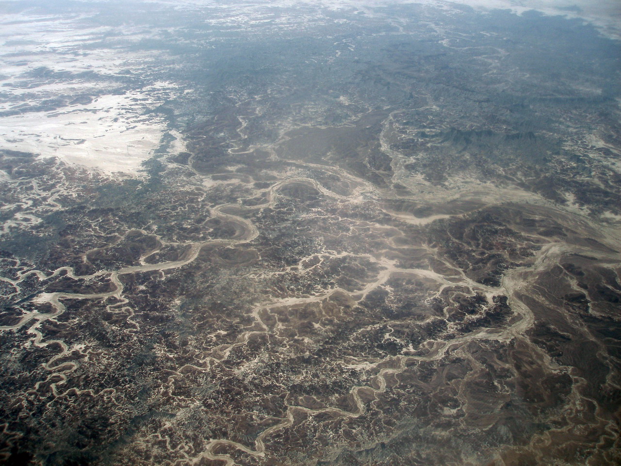
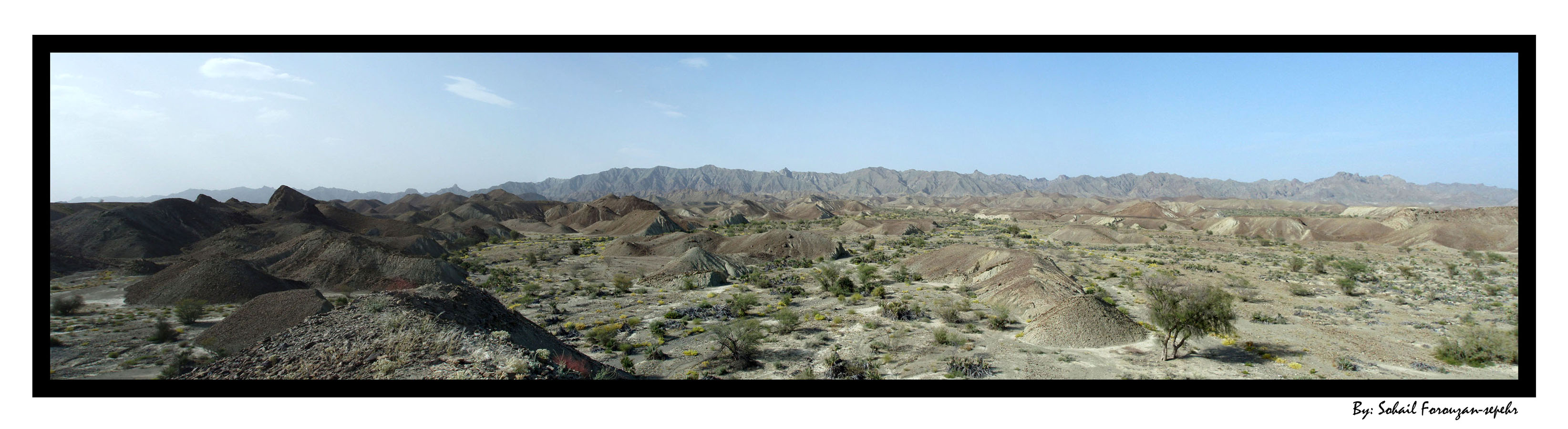
The province comprises of two sections, Sistan in the north and Baluchestan in the south. The combined Sistan & Baluchestan province today accounts for one of the driest regions of Iran with a slight increase in rainfall from east to west, and an obvious rise in humidity in the coastal regions. The province is subject to seasonal winds from different directions, the most important of which are, the 120-day wind of Sistan known as Levar, the Qousse wind, the seventh (Gav-kosh) wind, the Nambi or south wind, the Hooshak wind, the humid and seasonal winds of the Indian Ocean, the North or (Gurich) wind and the western (Gard) wind.

In the south and west of Sistān and Balūchestān, the people are mostly Balōchi and speak the Baluchi language. The name Balūchestān means "Land of the Balōchi" in Persian language. Similarly, the Persian language name Sistān comes from the Old Persian Sakastāna, meaning "Land of the Sakas".

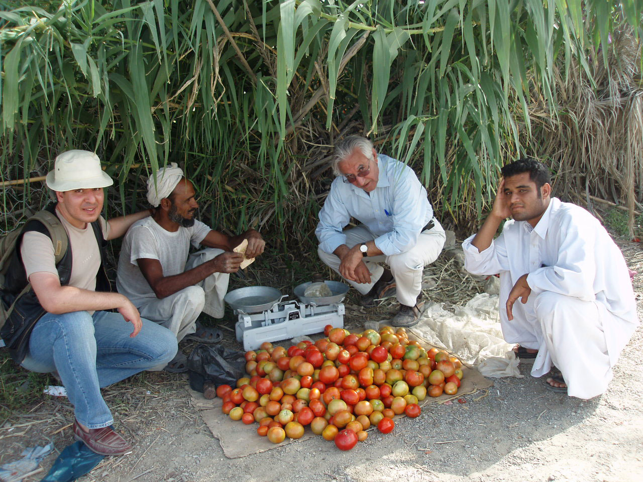
The inhabitants of the province of Sistan Va Baluchestan continue to embrace their own norms and traditions, and the region has the potential to become one of the sight-seeing areas of Iran. The two most important tribes of the province are the Barahuie and Baluch tribes. Their means of livelihood, life-style, mode of dwelling, customs, traditions, and tribal paths all form a cultural background worth seeing.

Many scholars, orators, and literary personalities have sprung up from this part of Iran, amongst which are the reputed Farrokhi Sistani, Ya'qub bin Laith as-Saffar and Rostam. Ayatollah Sistani is also from Sistān; though he currently resides in Najaf, Iraq.

Top of Page

III. History

In the epigraphs of Bistoon and Persepolis, Sistan is mentioned as one of the eastern territories of Darius the Great. The name Sistan, as mentioned above, is derived from Saka (also sometimes Saga, or Sagastan), one of the Aryan tribes that had taken control over this area in the year 128 BCE. During the Arsacid Dynasty (248 BC to 224 CE), the province became the seat of Suren-Pahlav Clan. From the Sassanid period till the early Islamic period, Sistan flourished considerably.

During the reign of Ardashir I of Persia, Sistan came under the jurisdiction of the Sassanids, and in 644CE, the Arab Muslims gained control as the Persian empire was in its final moments of collapsing.

The famous Persian hero Ya'qub bin Laith as-Saffar, whose descendants dominated this area for many centuries, later became governor of this province. Dynasties such as the Saffarids, Samanids, Qaznavids, and Seljuqids, all ruled over this territory for periods as well. But the region witnessed particularly heavy damage during the Mongol assault.

In 1508 CE, Shah Ismail I of the Safavid dynasty conquered Sistan, and during the reign of Nadir Shah due to internal discrepancies, the region underwent turmoil onmce more.

The ancient name of Baluchestan was Moka and through the passage of time it changed to Mokran / Makran, which is now the southern sector of Baluchestan. This territory came to be known as Baluchestan from the time that the Baluch tribes settled here. According to the relics discovered in the hillocks of Baluchestan, the history of this region dates back to the 3000 BCE.

During the reign of the second caliph of Islam, this territory was conquered by the Arabs and an Arab commander was assigned as governor. In 916 CE, Baluchestan was liberated by the Daylamids and thereafter the Seljuqids, when it became a part of Kerman.

Top of Page

IV. Sistan and Baluchestan Today

The province today is one of the most underdeveloped, desolate, and poorest of Iran's provinces. The government of Iran has been trying to reverse this situation by implementing new plans such as creating the Chabahar Free Trading Zone. Talks have also been underway for building automobile assembly plants in the zone as well.

Top of Page


About Chabahar

V. INTRODUCTION

Chabahar Local Time

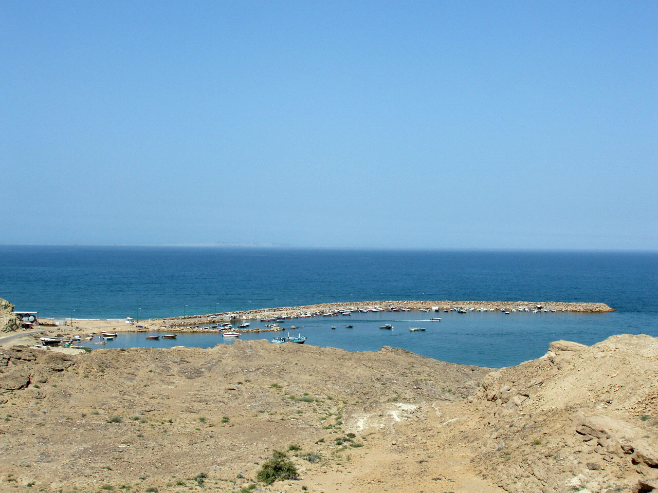
Chābahār (Persian: چابهار), previously also Bandar Beheshti, is an Iranian city and a free port (Free Trade Zone) on the coast of the Gulf of Oman.

Chabahar is situated on the Makran Coast of the Sistan and Baluchestan province of Iran and is officially designated as a Free Trade and Industrial Zone by Iran's government. Due to its free trade zone status, the city has increased in significance in international trade. The overwhelming majority of the city's inhabitants are ethnic Baluchis speaking the Balochi language.

Top of Page

VI. Economic Significance

Chabahar is the closest and best access point of Iran to the Indian Ocean. For this reason, Chabahar is the focal point of Iran for development of the east of the country through expansion and enhancement of transit routes among countries situated in the nortehrn part of the Indian Ocean and Central Asia. The hope is that with the development of transit routes, and better security and transit services, the benefits will reach the area residents.

Top of Page


My Photos

Notes on my mission in Baluchestan in Persian

1. An aerial view of clouds on my way to Zahedan

2. An aerial view of branches of a floodways in Baluchistan

3. An aerial view of branches of a floodways in Baluchistan

4. An aerial view of branches of a floodways in Baluchistan

5. An aerial view of branches of a floodways in Baluchistan

6. An aerial view of branches of a floodways in Baluchistan. These photos (1-6) were taken in the aeroplane flying to Chabahar. My colleagues & I went there for a mission to investigate the locations of bridges of "Chabahar-Fahraj Railway" project

7. A branch of a floodway on our way

8. A panoramic view of a dry valley where the railway project is under study

9. Another panoramic view of the dry valley showing flora of the floodway bed

10. My colleagues investigating the region

11. Flora of a floodway bed where the railway project is under study

12. A panorama of the wasteland where the project is under study

13. Sunset in the region

14. A date palm in the road administration of Nikshahr

15. A fruitful banana palm in the road administration of Nikshahr

16. I called there "A Heaven in the Hell", since my colleagues & I were in a wasteland for the mission, the weather was badly hot & sultry, we were very tired, thirsty & hungry.  Suddenly, we found a very nice place near Nikshahr, a tomato farm, in such that wasteland to relax & have launch

17. Me in that heaven

18. Natives go there to buy tomato

19. From left to right: Me, the owner of that tomato farm selling his products, Mr Norouzian (the head of Road Engineering Dept, Hexa Consulting Engineers) & a native buying tomatoes there

20. A panorama of another location under consideration for railway bridges or culverts

21. The wasteland I mentioned before

22. Another panorama of that location

23. Flora in the floodway bed, called "Jangal" (=Jungle) in the native language, that is wild palm bushes

24. Fruits of "Jangal" that may not be

comestible. But natives eat their stem core

25. Tiny angels in the hell (!), that are small native flowers in the shadow of that bushes

26. Me in a floodway branch. That white coloured small stones or as we say "studs" in front of me demonstrate the railway path

27. Moonrise in that place

28. A Portuguese castle near Tis Village. The Portuguese had captured the south of Iran since the fist years of 16th AD century till Emam-Gholi Khan defeated them away in 1622 AD.

29. Chabahar gulf, a view from the Portuguese Castle

30. Road to Chabahar, a view from the Portuguese castle

31. Chabahar gulf, a view from the Portuguese castle

32. Chabahar gulf, a view from the Portuguese castle

33. Inside the Portuguese Castle

34. A Sunnite style mosque in Tis village

35. Natural monuments in the mountains near Chabahar (Tis Village) constructed by weathering

36. Another shot of that natural monuments

37. The same description

38. A dried well inside the one of "Ban Messiti" caves. There are one natural cave & two grottos, called "Ban Messiti Caves" at the hillside of "Shahbazband" mountain. The natural one is a half circle shape seen here

39. Another unreachable cave or grotto of that 3 Ban Messiti Caves

40. Inside another reachable cave I found that monument. I'm sure it's an ancient Zoroastrian fire-temple from its architecture.

41. Baluchi addicted youths taking hashish hiddenly near Ban Messiti Caves!

42. The cave including that fire-temple

43. Shahbazband hillside

44. Another shot of weathering effects on that mountain

45. In the last day of our mission, after finishing our tasks, my colleague  & I took a taxi to visit the city. This local flower garden in Chabahar was the taxi-driver favourite place.

46. A ruined alley in Chabahar near its bazaar

47. "Seyyed Gholam Rasoul"* shrine,  an Indian architectural style tomb in Chabahar.

48, 49, 50, & 51. Inside the "Seyyed Gholam Rasoul"* Shrine


*: I've read a very interesting description about him: Seyyed Gholam Rasoul was a popular Indian Shiite who travelled to Iran to marry with an Iranian girl about 1000 years ago. But arriving in Chabahar, he got badly sick up to the death point & made his will nobody shall mourn for his death; instead, people must feast & rejoice over his grave for 10 days every year! Since then, many local & neighbouring people (both Shiites & Sunnites) have feasted every year: In the 1st & 2nd days women were sweeping the shrine court & men in clean dresses were preparing for the ceremony; then by the sunrise, Pakistani minstrels, Indian dancers, Negro singers & Baluchi hosts/hostesses were taking part in the ceremony. The ceremony was performed for 10 days in the mornings, afternoons & even nights. Old ladies were going inside the shrine to pray for sick or broken-heart people, men were playing music outside & young girls were dancing!

Top of Page

Locations of visitors to this page


This page was last updated on: Tuesday, 30 March 2010. Number of visitors up to now:

website
statistics